
Maps from the Past
The maps on this page depict the geography of Pennsylvania and Schuylkill County during Henry Schweigert's lifetime. Schweigert lived in Schuylkill County until his twenties, before moving to neighboring Berks County and later to nearby Lebanon County. The diaries make reference to several locations in Schuylkill County, namely Friedensburg, Pottsville, and Summit Station.

1868 Map of Pennsylvania
Source: Gamble, W.H. “County Map of the State of Pennsylvania.” Philadelphia, PA: Samuel Augustus Mitchell, Jr., 1868.
David Rumsey Map Collection
Source: Gamble, W.H. “County Map of the State of Pennsylvania.” Philadelphia, PA: Samuel Augustus Mitchell, Jr., 1868.
David Rumsey Map Collection
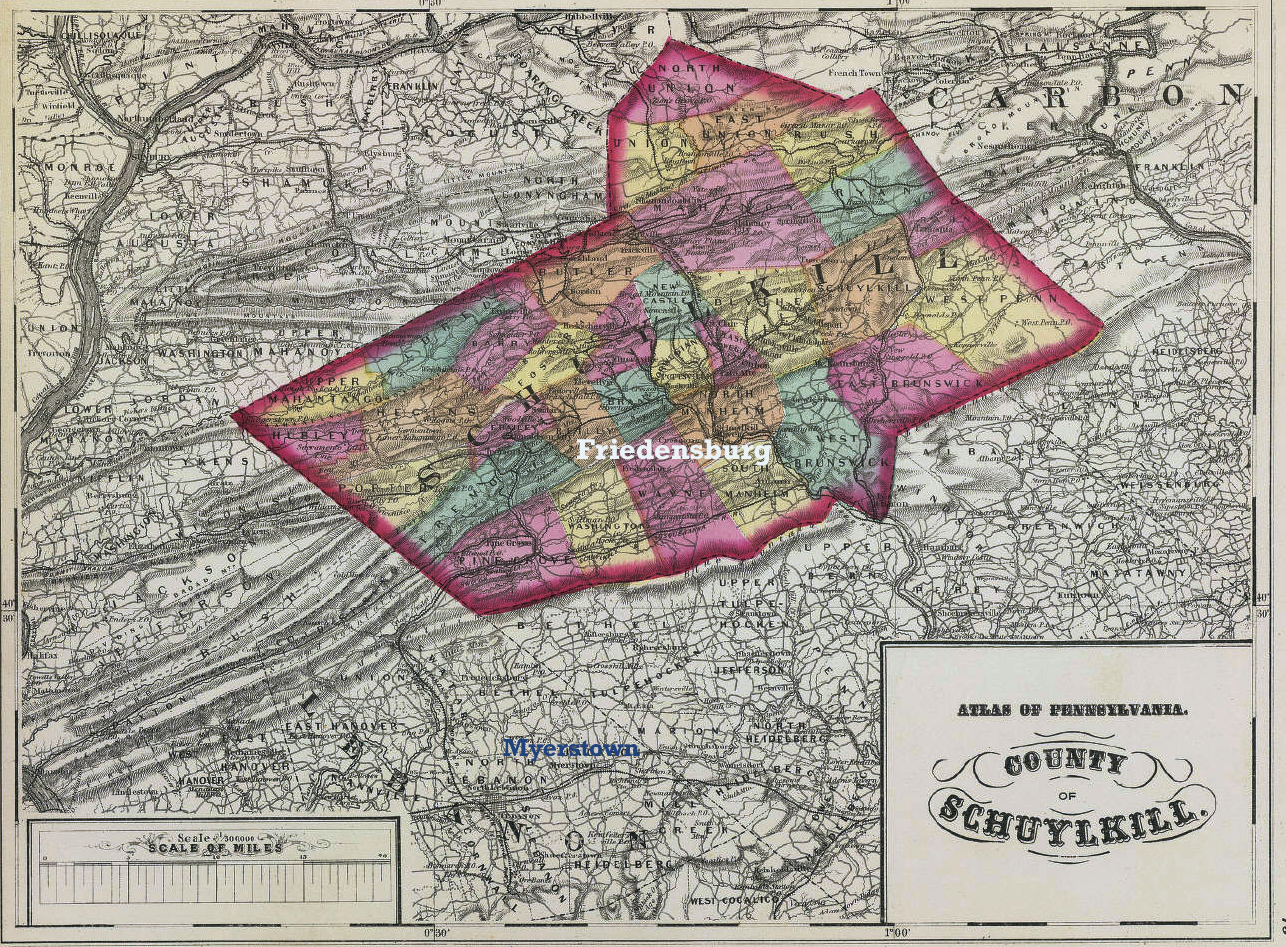
1872 map of Schuylkill County
Source: Ormando Willis, Gray. “County of Schuylkill.” Atlas map. Atlas of Pennsylvania. Philadelphia, PA, 1872.
David Rumsey Map Collection
Source: Ormando Willis, Gray. “County of Schuylkill.” Atlas map. Atlas of Pennsylvania. Philadelphia, PA, 1872.
David Rumsey Map Collection
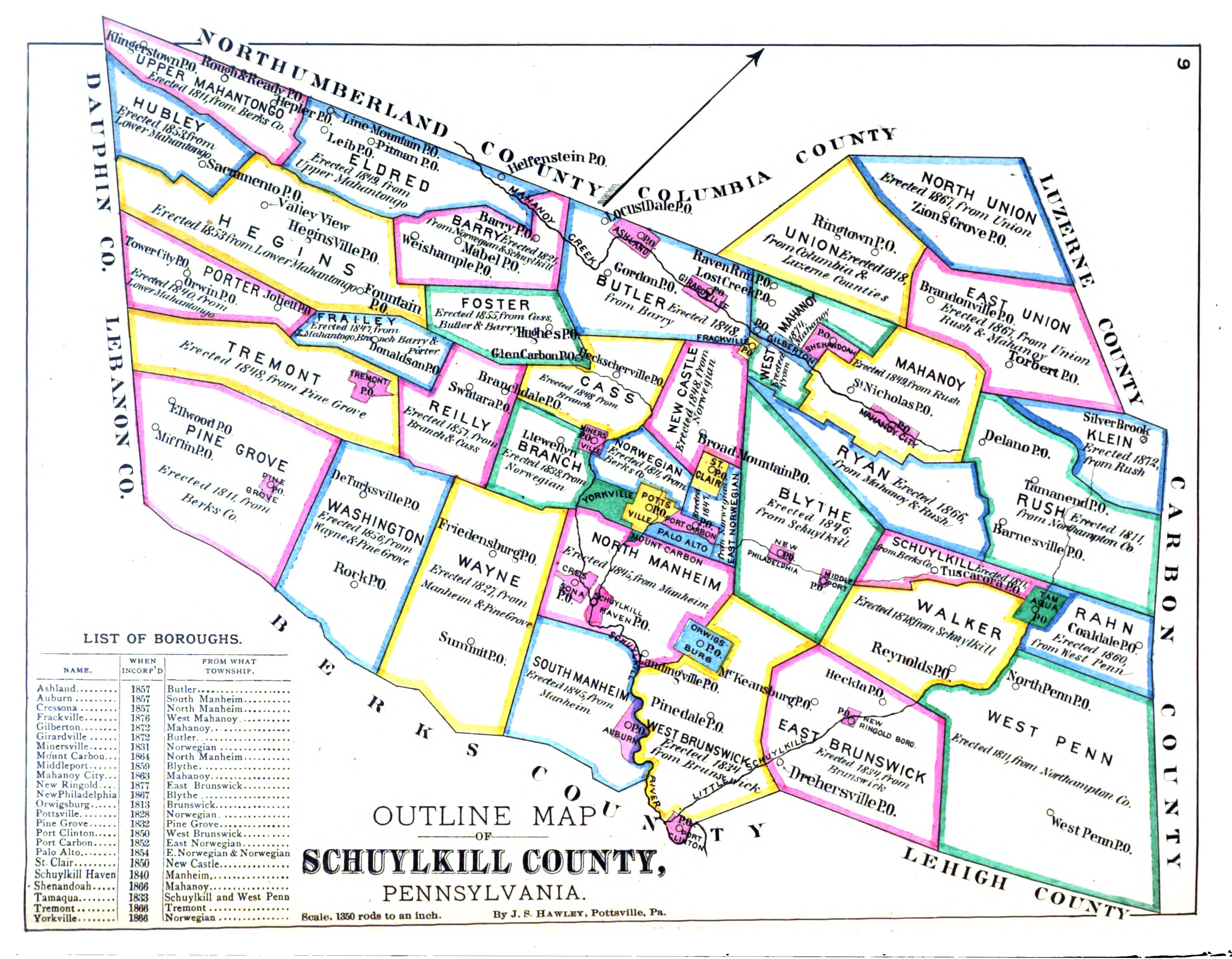
1881 Map of Schuylkill Co.
Source: Joel Munsell’s Sons. History of Schuylkill County, Pennsylvania New York: W. W. Munsell, 1881, p. 9.
Source: Joel Munsell’s Sons. History of Schuylkill County, Pennsylvania New York: W. W. Munsell, 1881, p. 9.