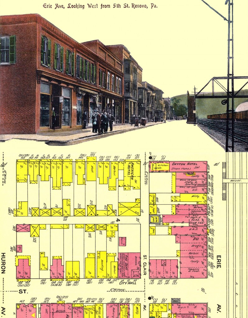
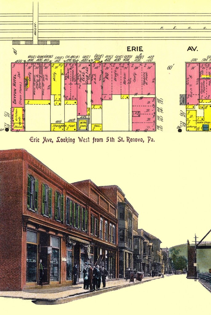
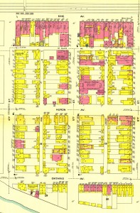
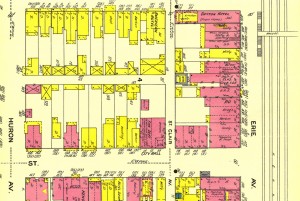
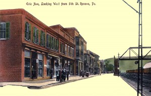
For this assignment, I played around in Photoshop with two images I may use in my final assignment. One is the Sanborn map of Renovo, PA from 1911 and the other is a postcard dated from 1908 of the bustling street scene on Erie Ave that I found on eBay. The postcard was a bit tricky to work with since it wasn’t a typical photograph, but rather a type of lithograph that added color to the original photo. I thought its focus on the street scene parallel to the railroad tracks would be a good visual representation of what the 1911 insurance map had depicted. Both the map and postcard include the footbridge over the rail yard, which I thought was a good landmark to feature since it was an access point between the town’s business district and the railroad shops for the the railroad workers.
I also thought it was interesting to see how the the Sanborn map can help identify what the buildings in the photographs were. For example: The first shop on the corner of 5th and Erie has a man standing outside the store who may be a customer exiting, or he could be an employee or owner of the shop. From the Sanborn map, that same building is labeled as “Tobacco & Pool” and if I look close enough, I can almost imagine that the sign outside says “cigars” but the resolution isn’t clear enough to be totally sure, even after my Photoshopping attempts. I’ve since purchased the postcard from eBay so maybe when I see it in print I will be able to decipher the sign.
Working in Photoshop, I took the original postcard image and changed the image size to approx. 4×6 inches and set the resolution to 300, thereby enlarging it. I tried various filters, such as “despeckle” to help smooth out the graininess of the picture. I also did some clean up work on the image with the “spot healing tool” to remove blemishes, and the “patch tool” to fix the discoloration the right hand edge of the card. I adjusted the curves a bit and used the “dodge” and “burn” tools to see how they could alter the image. The burn tool made the edges of the building a little darker and the dodge tool made the shop windows a little more lighter.
The changes to the Sanborn map were not as complicated. I cropped a 4×6″ section out of the original, making sure to capture the Erie Ave shops and footbridge that are featured in the postcard. I also downsized the resolution to 300 dpi. Then I decided to rotate it 90 degrees clockwise to have the streets mimic the orientation of the postcard. After that, I wasn’t sure what to do next. I didn’t want to tint the image (or the map) because every time I did, I just didn’t like what I saw.
Then I thought about replacing the sky and street with the beige color of the Sanborn map to reflect a common color. I used the “magic wand” to select large sections of the sky and remove them from the image, then touched up what was left with the eraser. Then I added a new layer below the postcard and filled it in with the “Sanborn Beige” color I had sampled from the map. It looked a little odd with the street and sky being replaced with the beige, like the shops were just floating in space. So I thought I could connect the two images by enlarging the canvas to place both images together in one image. I’m still not sure this is the best I could do, but it was better than having the two images separated. Combining them also helps draw the viewer to the map to try to identify the shops. I tried two different orientations of the 1911 map to see how they would both look with the postcard, and I’m not sure which one is better (or worse). I think the one with the cropped map on top is less busy and easier to view, though. However, I had to crop some of postcard scene out and play with the sizing more to get it to fit. I liked this assignment because it helped me practice my Photoshop skills that have gotten rusty, even if I’m not 100% satisfied with the results.
This week, I’ve commented on Jefferson’s digitally enhanced images on his blog.
Really great work. I love the way the sky looks in that “Sandborn beige.” I only wish we could still see some of those clouds.
You could do that, if you wanted to, by adjusting the curves, which would make the contrast greater between the grey-ish sky and the white clouds. Then when you added the Sanborn biege filter, it would probably make the grey sky a darker beige.
Nice work all around, April. I like what you did with each photo separately and how you juxtapositioned them.
Ebay is an underutilized research tool. I have used it to collect a number of historical items in addition to post cards. I continue to find things that I never knew existed. Using both of these images, you could recreate the street using SketchUP.